Past work
Some of my past software development efforts.
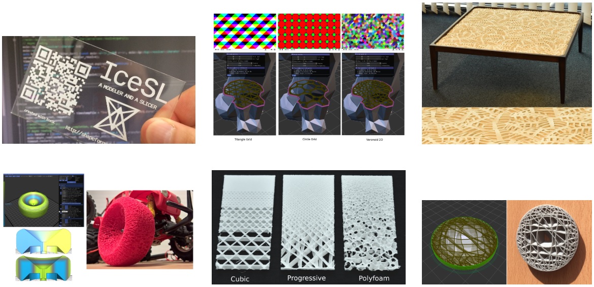
Inria Nancy Grand-Est, IceSL
Co-developed IceSL, a state of the art slicer and advanced modeler created by Sylvain Lefebvre, 2014-2015.

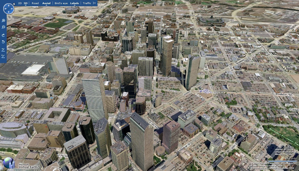
Microsoft Corporation, Virtual Earth (now Bing Maps)
Software engineering, Virtual Earth team, Redmond, WA - 2005-2009
Virtual Earth features a 2D street and satellite map, a 3D map, immersive street-side imagery, and pannable aerial views such as in here. Back in 2009, it also included a view that we called 'Synth' view, an oblique view built with both satellite, 3D and aerial imagery, taking the best of all data sources.

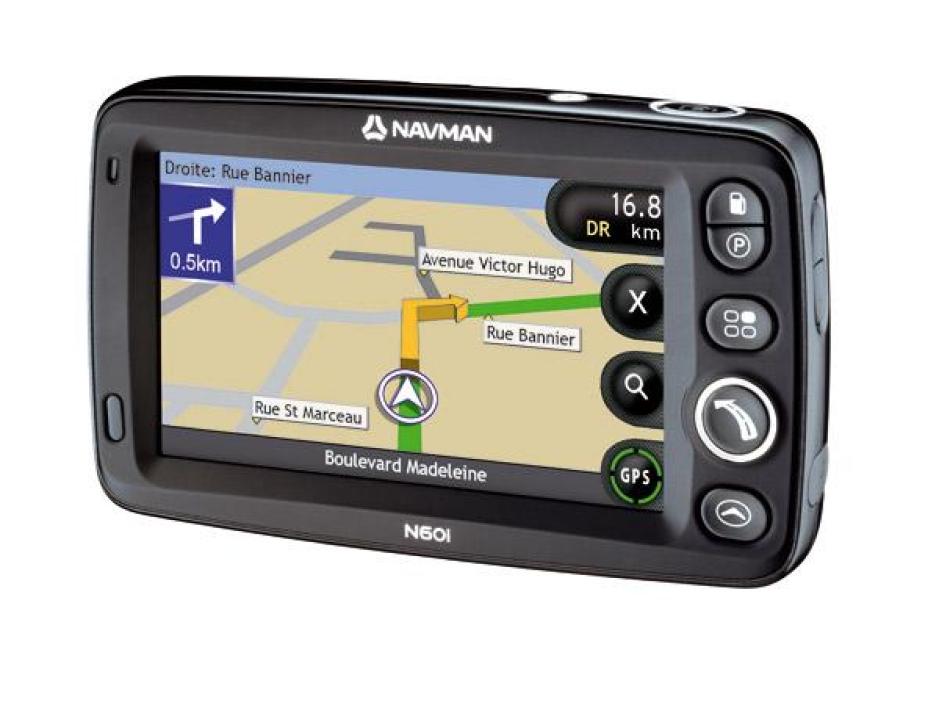
Navman New Zealand Limited, GPS car navigation
Lead software engineering, rendering and display, Map Core team, Auckland - 2004-2005.

